Terramodel HDMS
Terramodel HDMS Hydrographic Data Management System is a suite of tools used for processing hydrographic data within Terramodel. HDMS is developed by Geocomp Systems and is also available from major hydrographic equipment suppliers.
Features
- Adds on to Terramodel
- Customised for GeoNav, Trimble HydroPro, Reson and other hydrographic systems
- Imports depths, runlines, trackplot lines and events from hydrographic data in many formats
- Imports and Exports detail and scenery files such as coastlines in various formats
- Runline Labels
- Trackplot Labels
- Event Labels
- Exports Data to Dredge Systems
- User guide
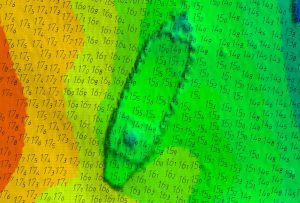
Hydrographic depth labelling
- Easy to use
- Hydrographic Office style labelling option
- Each user-defined depth range can be assigned its own depth labelling options and text attributes
- User defined depth text attributes include:
- font
- colour
- placement
- orientation
- variable rounding of depth values
Depth Clashing / Depth Weeding / Depth Text Overwrite Removal
- Easy to use
- Exceptionally fast (typically 1000 depths processed per second)
- User-defined parameters including clashing width, text height and orientation
Data Binning to sample or decimate data
- Binning options
- Shoalest depth
- Deepest Depth
- Average Depth
- TIN Surface depth
- Bin Depth location options
- Centre of each bin
- Retain position of sounding
- Statistical Options
- Depth range (Max – Min) in each Bin
- Standard Deviation in each Bin
Contact
To find out more, please contact us


