Visualizer Complete modules can be purchased from Geocomp Systems and added to your Terramodel key. Without a key, Visualizer Complete runs in demo mode where it is fully functional but restricted to the included data.
Download the installer (518 MB) or find the installer on a Terramodel installation CD, DVD or USB drive. Then run Setup.exe to install.
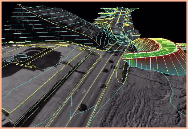
Terramodel Visualizer 2.05 Release Notes.
Contact
To buy Visualizer, or any other Terramodel Paks, modules or Customer Care Membership, please contact Geocomp Systems.